03 / AERIAL TARGET GEOLOCATION
From a pixel
to a place.
An object detector tells us where something is in an image. Geolocation asks a different question: where is it in the world?
The research question
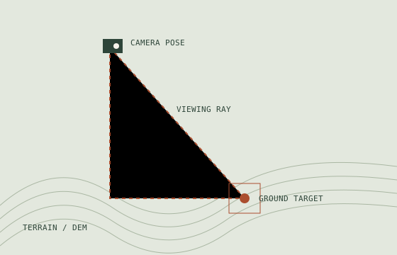
Estimate a ground target’s world position from an aerial image, using the target’s image location, UAV position and altitude, camera attitude, and a model of the terrain.
The published approach
I am first author of the CGA paper presented at ICDS 2020. The collaborative work encodes world positions as colours in a rendered terrain model, then decodes the relevant location. It uses SRTM elevation data and an OpenGL-based 3D environment.
My implementation work
I developed target-geolocation software using OpenGL in C++ and later ported the approach to Java with LWJGL. This work connected camera and terrain geometry with the practical software needed to obtain a target location.
The assumptions that matter
- Camera calibration and the relationship between camera and vehicle frames.
- Position, altitude, and attitude estimates aligned with the captured frame.
- Terrain resolution and the coordinate and altitude reference systems.
- A visible target on the modelled ground surface.
Limits and interpretation
A precise-looking coordinate is not proof of accuracy. Attitude error, elevation error, calibration, and target localization all affect the estimate. This page summarizes the method rather than claiming an independently validated error bound.
For methodological detail and evaluation, use the publication record.